Explore how Mid-Century Modern design has shaped urban landscapes, blending style and functionality in city planning. Discover the key elements of this architectural style, its historical significance, and tips on incorporating these concepts into modern urban environments.
City planning: how cities work and why design matters
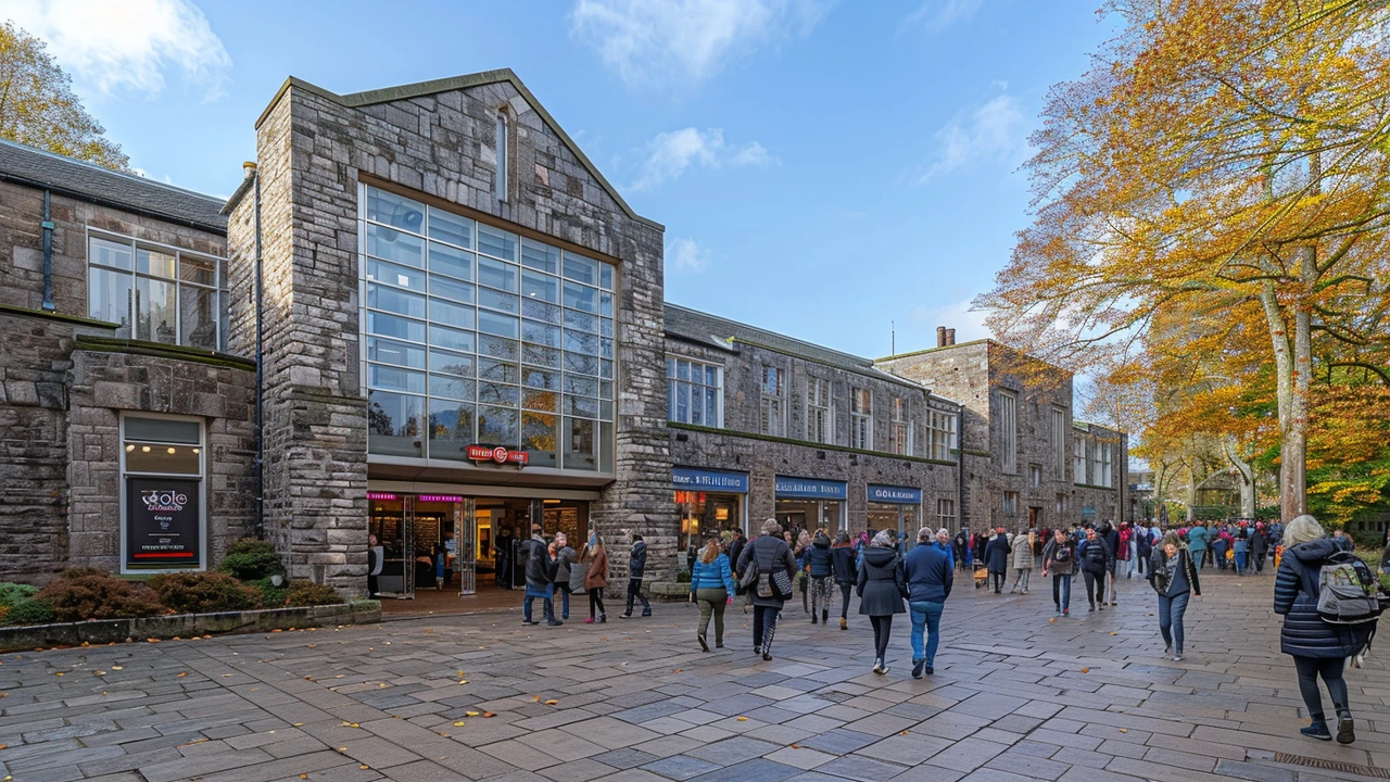
Some of the widest boulevards in the world were planned to move armies, not cars. That fact tells you right away that a city's form carries stories and choices. If you want to read a city, start with its streets: narrow lanes mean old neighborhoods; wide grids often show deliberate planning like Roman or Renaissance models. Check how public space works next. Are parks connected, or are they islands surrounded by traffic? Good planning links green space, transport, and daily life.
Quick checklist
Look up to understand the skyline. High-tech glass towers say one thing about money and tech. Low rows of brick or Georgian facades tell another story about scale and local craft. Preservation and reuse keep history visible, while new styles like neo-futurism or mid-century modern add fresh layers. Think of a city as a layered map of ideas: Beaux-Arts boulevards, Greek Revival facades, Bauhaus blocks, and modern high-rises all tell when and why parts of a city changed.
Here is a quick checklist to read any neighborhood. Note the block size and street pattern. Count transit stops and bike lanes. See where shops and homes meet—mixed use keeps places alive at different times of day. Notice building heights and setbacks; they affect light, wind, and how safe streets feel. Find who controls the ground floor: active shops and cafes usually mean more foot traffic and safer streets.
Practical changes that work
Design moves that actually improve neighborhoods tend to be simple and cheap first. Add benches, shade trees, and crosswalks to make walking easier. Slow traffic with narrower lanes or curb extensions. Protect or adapt historic buildings so they house new businesses instead of becoming empty shells. Prioritize short trips: better bus routes, protected bike lanes, and safe sidewalks beat building extra parking when space is limited.
A planner also balances big systems like drainage, energy, and housing. Climate resilience matters: trees, permeable surfaces, and shaded public places reduce heat and flooding. Affordable housing needs mixed-density solutions, not only tall towers or sprawl. Zoning must be flexible so old buildings can become new businesses or homes without long delays.
Get the community involved early. Host a quick street survey, ask neighbors what matters, test ideas with temporary paint and planters, and track results.
Measure changes with simple metrics: counts of pedestrians, bike trips, bus riders, and shade trees. Small data shows if a change helped people and guides smarter long-term planning. Start small, measure often, and scale what works. Your neighborhood will thank you.

Hey, it's your favorite blogger here, coming at you with a fascinating piece on how Constructivist Architecture is changing the way our cities look. Packed full of nuggets from the history of this architectural style, its prevalence, and impact on modern cities, this article leaves no stone unturned. We take a dive into how architects and city planners are using Constructivist principles to shape cities, providing the perfect blend of functionality and aesthetics. If architecture is your thing, or you're just curious about what's shaping the skyline around you, this piece is a must-read!